Machine Learning And hyperspectral Imaging on GIS data for Computer Vision Based Analysis of Agriculture Loans
Machine Learning And hyperspectral Imaging on GIS data for Computer Vision Based Analysis of Agriculture Loans
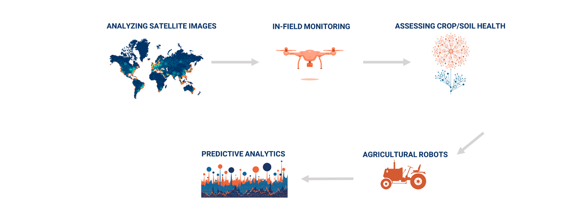
Using Artificial Intelligence Algorithms on Satellite Data feeds to do real-time analysis of Quality and Quantity of Agricultural yields of a certain location. We use data from 3 separate satellites including HyperSpectral Imaging data analysis for this process. It is used to Automate agricultural loans.